Bull Run Forest Carbon Project
Mountain Pine Ridge, Cayo District, Belize
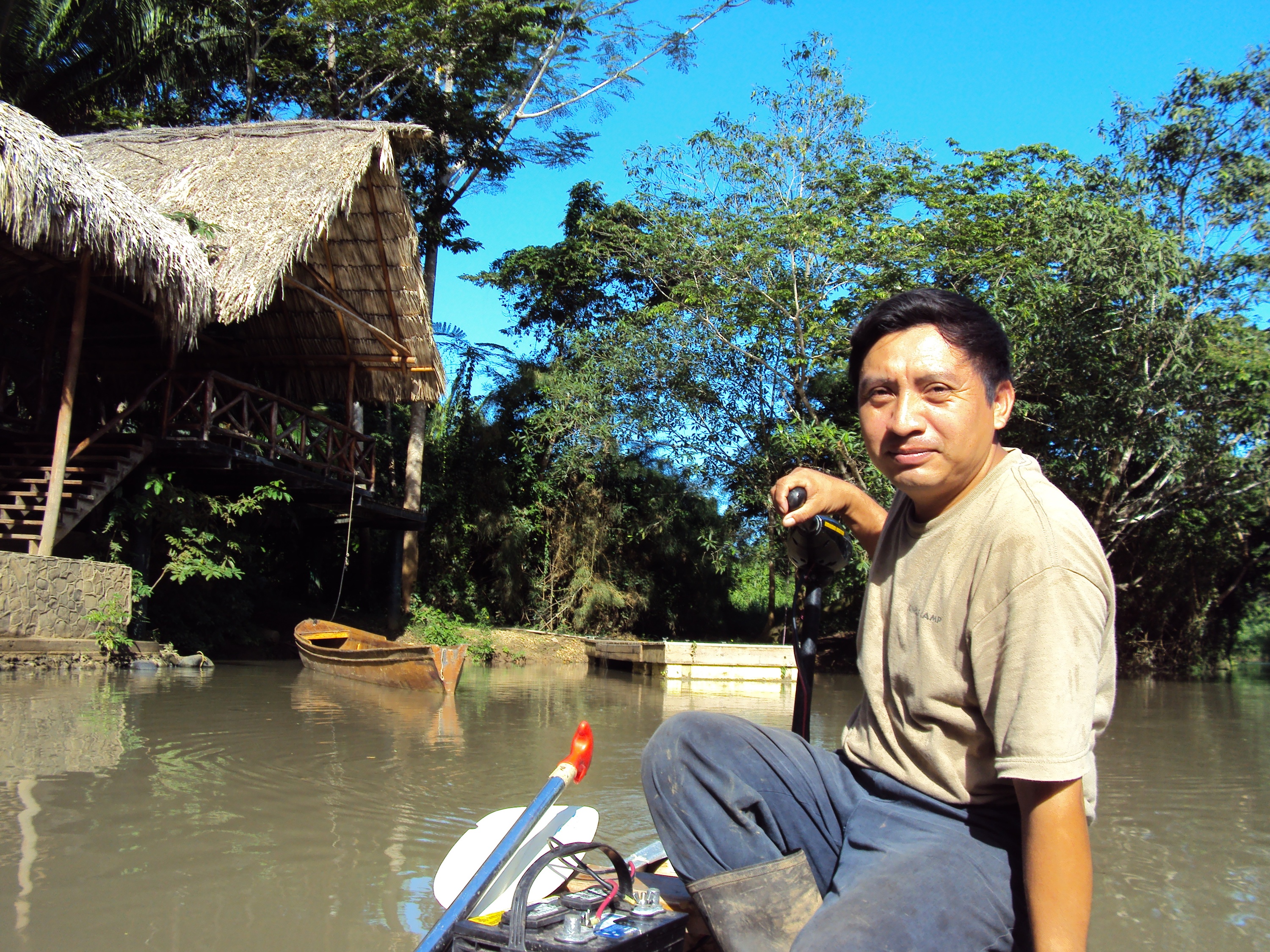
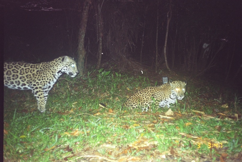
The Bull Run project is designed to protect 4,650 ha of tropical pine forests, grasslands, and mature humid broadleaf forest in the Cayo District of Belize, Central America. This area, which lies 23.5 km east-southeast of San Ignacio, Belize, includes 15 IUCN listed endangered species! The property consists primarily of a tropical pine savannah with a small component of tropical mixed broadleaf forest. Several studies involving bird conservation and protection on the property have been undertaken in the years since the project started, including a study on the threatened Orange-breasted falcons
Situated in western Belize, near the border with Guatemala, the Cayo District encompasses a range of habitats and landscapes, from the pre-Columbian Maya ruins of Xunantunich, the national capital of Belmopan, to the tourist town of San Ignacio, as well as the famous caves of Barton Creek. The Cayo District is the largest district of Belize and spans over 2,000 square miles across diverse terrain, from lush river valleys and rugged mountains to rolling hills and sweeping broadleaf jungles. The jungle landscape sits atop limestone formations which, over time, have dissolved to form majestic underwater rivers

Awards and certifications
Additional Info
The goal of the project is to protect the property as a carbon sink, maintain the biodiversity values of the property, and enhance the local economic environment with sustainable livelihoods. The climate objective is to avoid emissions from deforestation during the project timeframe. The project area is slated for conversion to coffee agriculture. The project consists of protection of the property through 2038 (30 years) through patrols and placing a restrictive covenant on the property deeds for the life of the project. Bull Run Overseas Ltd. (BRO) manages the property for the ultimate land owner; The Aldebaran Company Ltd. Forest Carbon Offsets LLC (FCO) is an agent of BRO to develop the carbon finance project. The Conservation Management Institute at Virginia Tech (CMI) is a subcontractor hired to conduct technical analyses on behalf of FCO.
The Project area is located at Latitude 17°04’00.00” N and Longitude 88°47’00.00” W in the Cayo District, Belize 23.5 km east-southeast of San Ignacio, Belize. The Project boundary encompasses 4,650 ha.

Why we chose this project
We are particularly impressed with the project's comprehensive monitoring and research plans, designed to detect any reversals in forest cover for baseline renewal after 10 years. A system of permanent plots has been established and remote sensing technology will be used to produce a forest/non-forest map from which comparisons can be made.
The overall objectives of the monitoring plan are to detect any reversals in forest cover for baseline renewal after 10 years. To accomplish this, a system of permanent plots has been established and remote sensing will be used to produce a forest/nonforest map. The plot data will be used as ground truth for the mapping work as well as to confirm growth rate assumptions. The map will be produced for each verification audit and the plots will be measured annually and a report of the results produced for each verification audit.
Who’s involved
